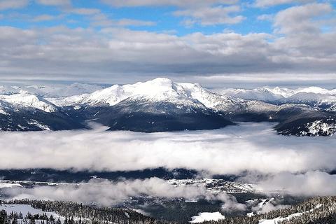
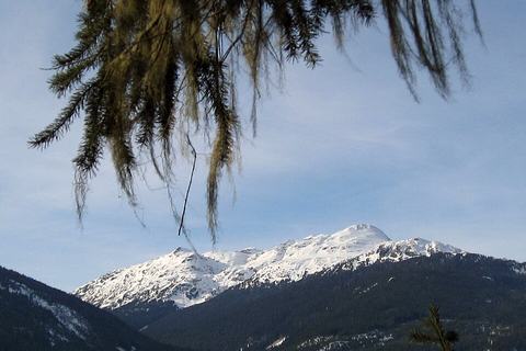
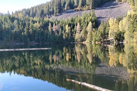
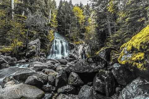
63 rutas en Whistler, Squamish y Pemberton, desde paseos a cascadas hasta épicas jornadas alpinas.
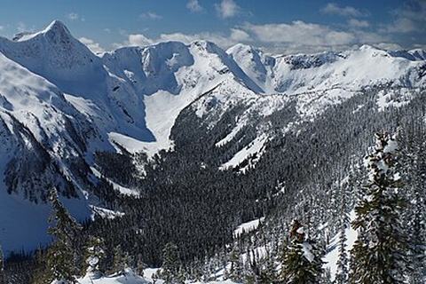
❄️ La mayoría de las rutas por encima del valle están nevadas aproximadamente de noviembre a junio.Las rutas fuera de temporada están ocultas; usa la opción de abajo para verlas. Los paseos por el valle y las cascadas se pueden hacer todo el año.
Lleva la cuenta de tus rutas.Crea una cuenta gratis y toca ✓ en cualquier ruta.
Whistler's answer to the Grouse Grind: Little Burn, Big Burn and Heart Burn straight up Blackcomb's ski runs to the Rendezvous, then ride down (check Whistler Blackcomb's ticket rules).
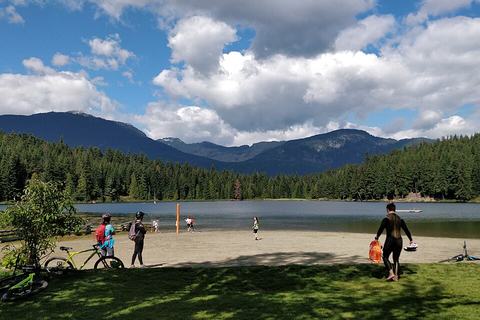
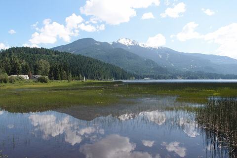
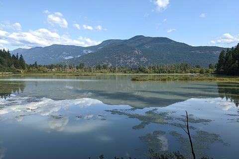
A flat forest loop around a swimmable lake, a short walk from the village. Great for families, dog walks and a quick leg-stretch; Nordic ski trails in winter.
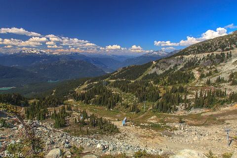
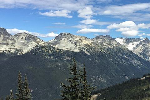
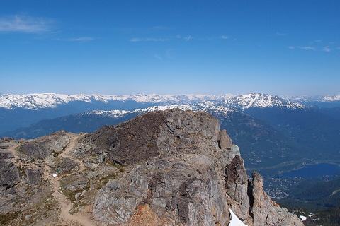
Ride to Whistler Peak, then roll along the high alpine ridge over Piccolo, Flute and Oboe summits to Russet Lake. Spectacular all the way; watch the last lift time or walk out via Singing Pass.
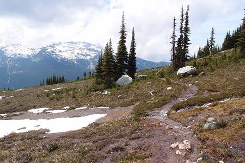
A long, steady climb up the Fitzsimmons valley from the village to wildflower meadows between Whistler and Blackcomb. Free alpine access without a lift ticket.
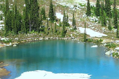
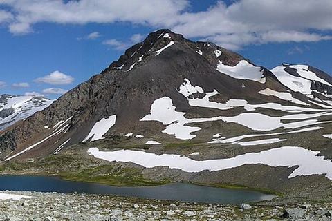
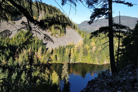
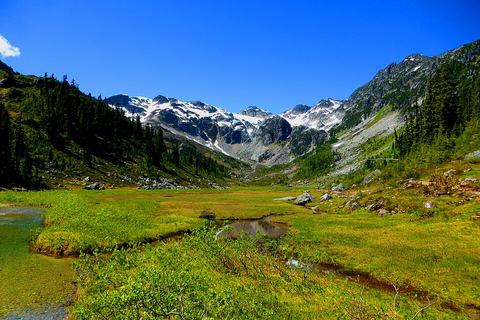
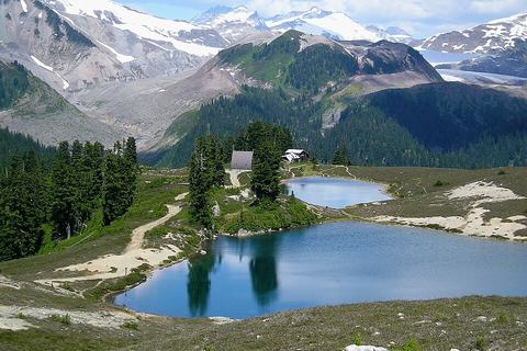
A steady climb through old forest into open subalpine meadows and a clear lake ringed by peaks. The lake is Whistler's water supply, so no swimming and no dogs.
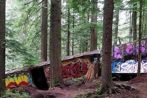
Crumpled boxcars from a 1956 derailment, now covered in graffiti art, scattered in the forest. Cross the suspension bridge over the Cheakamus River to reach them.
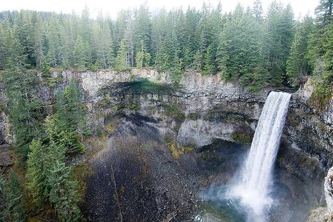
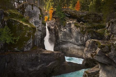
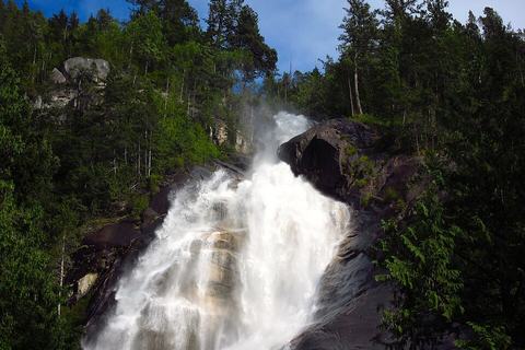
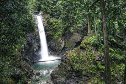
A 70 m waterfall plunging off basalt cliffs into a canyon, a few minutes' walk from the highway. Views of Daisy Lake and the Black Tusk from the lookout.
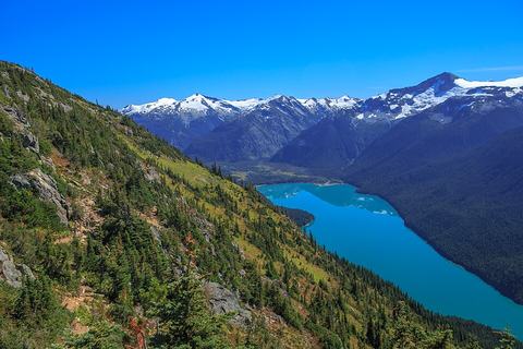
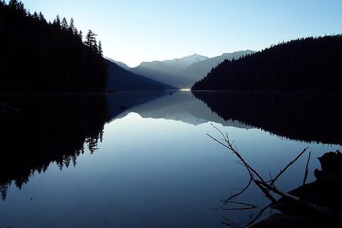
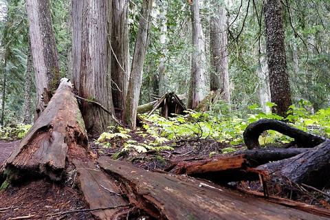
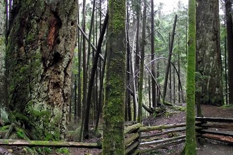
A gentle walk through giant old-growth cedars to a long turquoise glacial lake. The lakeshore is about 3 km in; the full distance takes you to the campground at the far end.
🪨 Camino de grava🎟️ Pase de día de BC Parks🐕 Sin perros
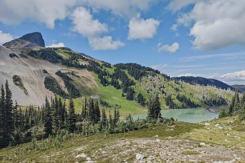
Climbs from the Cheakamus valley into the back side of Garibaldi Park's alpine, with Black Tusk looming over a stark volcanic landscape. A long day or a great overnight.
🪨 Camino de grava🎟️ Pase de día de BC Parks🐕 Sin perros
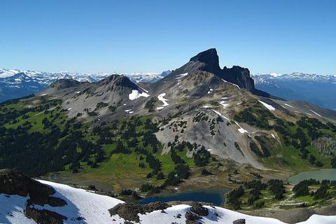
A huge day past Garibaldi Lake and Taylor Meadows to the base of the iconic volcanic spire. The final scree and chimney scramble to the top is loose and exposed; many stop at the ridge.
Pemberton · Temporada: Jun–Sept Fuera de temporada
Distancia
10 km ida y vuelta
Desnivel
370 m
En coche desde el pueblo
1 h 14 · 62 km
En forma2 h 24
Promedio3 h 26
Más lento4 h 58
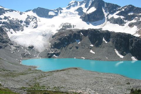
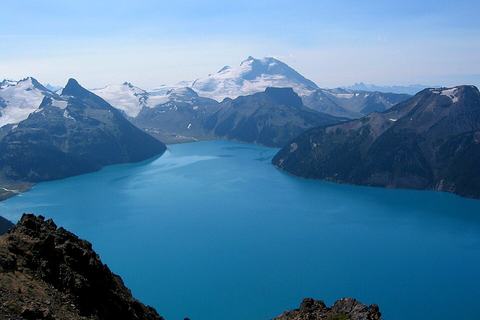
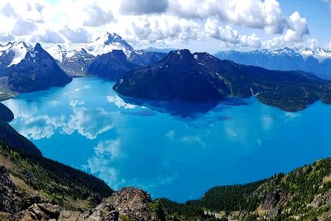
Three glacier-fed lakes, each bluer than the last, under the hanging Matier Glacier. One of BC's most photographed hikes; day-use pass needed and the park has some closure periods, so check BC Parks first.
Lions Bay Loop winds through shaded forest with repeated glimpses of Howe Sound, and the standout is Arbutus Point, where a short spur leads to a picnic table and a view across the water. Crystal Falls is also passed along the way.
Brunswick Mountain is a very hard climb best left to experienced hikers, with loose gravel, steep switchbacks, and some scrambling near the top. The reward is a panoramic view of Howe Sound, the Lions, and the surrounding peaks on a clear day.
Climb a wide gravel road through switchbacks, passing a couple of waterfalls along a mountainside traverse. The payoff is a panoramic view of Howe Sound and Vancouver from the Lions.
Tunnel Bluffs climbs steeply from Lions Bay, then follows an old logging road to a viewpoint. On a sunny day, you'll look out over Bowen Island, the Sunshine Coast, Horseshoe Bay and the Sea to Sky Highway.
North Shore · Temporada: Jun–Oct Fuera de temporada
Distancia
11.5 km ida y vuelta
Desnivel
975 m
En coche desde el pueblo
1 h 51 · 104 km
En forma3 h 43
Promedio5 h 19
Más lento7 h 42
Eagle Bluffs from Horseshoe Bay is a steep, sustained climb along the Baden Powell Trail, passing Whyte Lake before entering Cypress Provincial Park. The payoff is a spectacular viewpoint at the top.
Whyte Lake is a small, forested lake tucked above the Trans-Canada Highway. The climb starts steadily from Horseshoe Bay, with traffic noise fading as you gain height, and it finishes at a dock on the water.
Cypress Falls is a short, year-round forest walk beside Cypress Creek, with mossy cedar and fir trees and two waterfalls as the main highlights. It's a good winter option when higher trails are snowbound.
Whyte Lake is a short, gentle forest walk with a steeper start past a highway underpass. Old-growth Douglas firs line Nelson Creek canyon before the trail ends at a quiet lake with a small wooden dock.
Whytecliff Park's upper trails are quieter than the beach, climbing steeply through forest to a bench overlooking Howe Sound, where ferries and sailboats pass below. The old viewpoint over Batchelor Bay is now mostly hidden by trees.
Forested trails wind past some of the region's largest Douglas firs and old-growth cedars, with easy walking throughout. The highlight is the shoreline, where the lighthouse and wide water views open up along the way.
Loop through tall, old-growth Western Red Cedar forest on a mountainside in West Vancouver. Look for remnants of old logging rail ties and a concrete sawmill foundation along the way.
Lower Hollyburn passes through quiet, shaded forest along creeks, then climbs past Blue Gentian Lake, West Lake, and First Lake. It's a good early-season option when higher trails are still snowbound.
Rainforest trail dropping down beside Capilano Canyon, with rushing water tumbling over rock in view along much of the route. Start at Cleveland Dam, where you can peek over the side at the falls below.
North Shore · Temporada: Jul–Oct Fuera de temporada
Distancia
10 km ida y vuelta
Desnivel
880 m
En coche desde el pueblo
2 h 7 · 121 km
En forma3 h 17
Promedio4 h 42
Más lento6 h 49
Mount Fromme is a quieter North Shore climb through forest, with trail sections that pass radio antennas and power lines. Views of backcountry peaks open up near the top, though city views stay hidden behind trees.
North Shore · Temporada: Jun–Sept Fuera de temporada
Distancia
3 km solo ida
Desnivel
853 m
En coche desde el pueblo
2 h 9 · 120 km
En forma2 h 01
Promedio2 h 53
Más lento4 h 11
Climbs steeply from Grouse Mountain's base through the forest, a quieter route than the Grind. Most hikers ride the gondola back down, since the rocky slopes are hard to descend.
North Shore · Temporada: Jun–Sept Fuera de temporada
Distancia
2.9 km solo ida
Desnivel
853 m
En coche desde el pueblo
2 h 9 · 120 km
En forma2 h
Promedio2 h 51
Más lento4 h 09
Grouse Grind is a relentless, stair-heavy climb up the mountain's side, packed with hikers and known for testing stamina. Its rewards come at the top, where the views open over the city and the harbour.
North Shore · Temporada: Jul–Oct Fuera de temporada
Distancia
9.8 km ida y vuelta
Desnivel
385 m
En coche desde el pueblo
2 h 10 · 121 km
En forma2 h 23
Promedio3 h 25
Más lento4 h 57
Crown Mountain rewards effort with wide views on clear days, taking in the Capilano Watershed, the Lions, and distant Vancouver. The jagged, crown-like peak stands above nearby summits, but the steep drop into Crown Pass means you climb twice.
North Shore · Temporada: Jul–Sept Fuera de temporada
Distancia
5 km ida y vuelta
Desnivel
260 m
En coche desde el pueblo
2 h 10 · 121 km
En forma1 h 20
Promedio1 h 54
Más lento2 h 45
Dam Mountain is a short backcountry climb behind Grouse Mountain, rewarding you with mountain views and occasional glimpses of Vancouver and Burrard Inlet. Its trails can link into longer day routes.
North Shore · Temporada: Jul–Oct Fuera de temporada
Distancia
8 km ida y vuelta
Desnivel
300 m
En coche desde el pueblo
2 h 10 · 121 km
En forma1 h 56
Promedio2 h 45
Más lento3 h 59
Climb from the Grouse Mountain Skyride through the logging show area and past the grizzly pen, then up a rocky slope to Goat Mountain. On clear days the summit opens to views of Vancouver, Mount Baker, and Garibaldi's peaks.
North Shore · Temporada: Jul–Sept Fuera de temporada
Distancia
5.5 km ida y vuelta
Desnivel
240 m
En coche desde el pueblo
2 h 10 · 121 km
En forma1 h 23
Promedio1 h 59
Más lento2 h 52
Little Goat Mountain is a steady climb on a gravel road that narrows to trail, with occasional views of surrounding peaks. The summit view is the highlight, with Crown Mountain and Goat Mountain in sight. Currently closed for winter. Wait, I need to reconsider the closure line: the notes say it's closed for winter and reopens summer 2027, so that's accurate to include briefly.
Steep and relentless, the Skyline Trail climbs straight up the mountain past old chairlift wheels and posts, plus remnants of a 1954 jet crash. The reward at the top is a sweeping view of Vancouver on a sunny day.
Stanley Park's forest trails loop past Beaver Lake, where you might spot ducks and herons wading in the shallows. The route stays green and shaded, though traffic noise from the causeway is never far off.
Wildflower meadows and a cobalt-blue lake in a bowl of peaks, with a cabin run by the Pemberton Wildlife Association. 4x4 needed for the last stretch of road.
Twin Falls is a short, popular forest hike in North Vancouver, where a suspension bridge crosses high above Lynn Creek. The trail drops through mossy rainforest with stairs and switchbacks to a wooden bridge with a view of the waterfall.
Lower Lynn Creek is a mostly urban walk following the creek past several North Vancouver parks, with plenty of dog off-leash areas along the way. It finishes at a viewing platform at the creek mouth overlooking Burrard Inlet.
Maplewood Flats is a flat, easy loop along Burrard Inlet, best for birdwatching. Expect more than 200 bird species, with harbour views from Osprey Point, a salt marsh lookout, and wood ducks at the pond.
Trail is rugged, root-heavy, and muddy, with slippery creek crossings and plenty of fallen trees. Highlights are a huge old-growth cedar with trees growing out of it, and Kennedy Falls, a spectacular waterfall.
North Shore · Temporada: Jul–Sept Fuera de temporada
Distancia
23.5 km ida y vuelta
Desnivel
1,245 m
En coche desde el pueblo
2 h 14 · 125 km
En forma6 h 17
Promedio8 h 59
Más lento13 h 02
Coliseum Mountain is a strenuous, rugged climb suited to experienced, fit hikers. The reward is a summit with sweeping panoramic views over the surrounding region.
North Shore · Temporada: Jul–Sept Fuera de temporada
Distancia
16 km solo ida
Desnivel
1,320 m
En coche desde el pueblo
2 h 14 · 125 km
En forma5 h 07
Promedio7 h 18
Más lento10 h 35
Hanes Valley is a very difficult route with an extremely steep boulder field to scramble up by hand and foot. Along the way you pass Norvan Falls and viewpoints of Crown and Goat Mountains, with valley views that are quite scenic.
Climbs steadily through cedar and hemlock forest before looping back beside rushing Lynn Creek. A short side spur leads to a small rock lookout with views toward Vancouver Island and the Gulf Islands.
North Shore · Temporada: Jun–Oct Fuera de temporada
Distancia
9 km ida y vuelta
Desnivel
720 m
En coche desde el pueblo
2 h 14 · 125 km
En forma2 h 50
Promedio4 h 03
Más lento5 h 52
Lynn Peak is a tough, steep climb through regrowth forest, often compared to the Grouse Grind but far quieter. Rocky sections demand care, and the summit view rewards the effort.
Norvan Falls is a year-round forest hike along Lynn Creek, passing old logging relics and cedar groves. The payoff is a waterfall, reached after the trail opens onto a rocky clearing with views of Goat Mountain.
North Shore · Temporada: Jul–Oct Fuera de temporada
Distancia
7 km ida y vuelta
Desnivel
450 m
En coche desde el pueblo
2 h 15 · 123 km
En forma2 h 01
Promedio2 h 53
Más lento4 h 10
Hollyburn Mountain is a half-day climb through power-line clearings, berry-filled meadows, and forest, ending on a rocky summit. The top rewards you with wide views over Georgia Strait, the Gulf Islands, and the Lions.
North Shore · Temporada: Jul–Oct Fuera de temporada
Distancia
4 km ida y vuelta
Desnivel
110 m
En coche desde el pueblo
2 h 17 · 125 km
En forma54 min
Promedio1 h 17
Más lento1 h 51
Bowen Lookout is a short, steep climb near Cypress Mountain that opens onto a wide view over Howe Sound toward Bowen Island. It's often paired with St Mark's Summit as a quick side trip.
North Shore · Temporada: Jul–Oct Fuera de temporada
Distancia
10.5 km ida y vuelta
Desnivel
550 m
En coche desde el pueblo
2 h 17 · 125 km
En forma2 h 48
Promedio4 h
Más lento5 h 48
Mount Strachan is a steep, muddy climb through forest and a scramble up Christmas Gully, with snow often lingering into July. The reward on a clear day is wide views over Howe Sound and distant backcountry peaks, plus a historic jet crash site.
North Shore · Temporada: Jul–Oct Fuera de temporada
Distancia
11 km ida y vuelta
Desnivel
460 m
En coche desde el pueblo
2 h 17 · 125 km
En forma2 h 44
Promedio3 h 54
Más lento5 h 39
St. Mark's Summit is a steady, sometimes steep forest climb with a few switchbacks and a brief meadow. The reward is views over Howe Sound, with the Lions visible along the way.
North Shore · Temporada: Jul–Sept Fuera de temporada
Distancia
6 km circuito
Desnivel
360 m
En coche desde el pueblo
2 h 18 · 125 km
En forma1 h 41
Promedio2 h 24
Más lento3 h 29
Steep, relatively short climb through forest and past switchbacks to Cabin Lake, a calm lake that is popular for swimming on hot summer days. The Yew Lake Lookout offers a view of the Lions in the distance.
North Shore · Temporada: Jul–Oct Fuera de temporada
Distancia
9 km ida y vuelta
Desnivel
350 m
En coche desde el pueblo
2 h 18 · 125 km
En forma2 h 11
Promedio3 h 08
Más lento4 h 32
Eagle Bluffs is a steep, switchback climb from Cypress Mountain ski area along the Baden Powell Trail, passing small lakes. The payoff is a spectacular view over Eagle Harbour from rocky slopes.
Rice Lake is a calm, quiet loop on the edge of Lynn Headwaters park, with benches at several lakeside viewpoints. Herons, colourful ducks, and the occasional eagle make it a favourite for birdwatching.
Follows the Seymour River through mossy old-growth forest to the Mid Valley Viewpoint, with river views and distant mountains along the way. Shared with mountain bikers, but mostly wide enough to pass easily.
Two Canyon Loop links Lynn Canyon and Seymour River Canyon in one walk, with waterfalls, a suspension bridge, and river views. Along the Seymour you pass an old logging tunnel and the Twin Bridges, where one span still stands.
Burnaby Lake's flat loop runs around the largest lake in the Lower Mainland, passing rowing grounds and a bridge crossing. Expect frequent lake views with the North Shore mountains behind, plus plenty of ducks, geese, and beavers.
Climb through forest past small wooden bridges to Quarry Rock, a rocky outcrop overlooking Deep Cove and Indian Arm. The route then follows a quiet stretch alongside a narrow paved road.
Deer Lake Park's flat loop circles the water past a beach, a viewing tower, and a pier, with lakeside scenery throughout. It stays open year-round and suits an easy afternoon stroll.
Quarry Rock is a large granite outcrop above Deep Cove, reached through dense Douglas fir and hemlock forest. The highlight is the open rock top with wide views over Indian Arm and the mountains near Belcarra.
Nicknamed Burnaby's Grind, this steep route is mostly wooden stairs through forest, with more than 500 steps. Glimpses of Burrard Inlet appear between the trees, and the climb ends at Japanese totem poles and viewpoints over Indian Arm.
Quiet, flat forest walking through old hemlock, cedar, and maple trees on a network of multi-use trails. Expect shared paths with cyclists and horses, and some sections near the traffic of Marine Drive.
Burnaby Mountain's trails wind through forest on the east side near North Road, popular with both walkers and mountain bikers. The route climbs to the summit area past wooden bike ramps and returns along the Trans Canada Trail.
Beach-side walk along rocky shoreline past Wreck Beach, with wide open views west toward Bowen Island and Howe Sound. Ferries often appear in the distance. Go at low tide, since parts are only passable on slippery rocks.
Shoreline Trail: a flat, easy walk along Burrard Inlet's edge, moving from the Rocky Point pier through forest with glimpses of the water, then across wooden boardwalks above the shore.
Colony Farm is a flat, mostly paved path network beside the slow-moving Coquitlam River, with open fields and distant mountain views. Cyclists, joggers, and birders are common, and the Millennium Bridge crossing offers a good view down to the water.
Mundy Park's loop winds through quiet forest and past Lost Lake, which you reach just a short way from the east entrance. Well-maintained gravel paths make for an easy, flat stroll year-round.
North Shore · Temporada: Jul–Oct Fuera de temporada
Distancia
4.8 km ida y vuelta
Desnivel
210 m
En coche desde el pueblo
2 h 39 · 141 km
En forma1 h 12
Promedio1 h 44
Más lento2 h 30
Mount Seymour's De Pencier Bluffs loop is a bit harder to locate than the busier trails, but it rewards you with peak views and a sweep down to Indian Arm. Mystery Lake along the way is a popular summer swimming spot.
North Shore · Temporada: Jun–Oct Fuera de temporada
Distancia
5 km ida y vuelta
Desnivel
160 m
En coche desde el pueblo
2 h 39 · 141 km
En forma1 h 09
Promedio1 h 39
Más lento2 h 24
Dog Mountain is a short, mostly flat forest walk with slippery tree roots that demand careful footing. The payoff is a broad view over Vancouver on a clear day, plus First Lake along the way.
North Shore · Temporada: Jun–Oct Fuera de temporada
Distancia
3 km ida y vuelta
Desnivel
100 m
En coche desde el pueblo
2 h 39 · 141 km
En forma42 min
Promedio1 h
Más lento1 h 27
Goldie Lake sits in a quiet forest on Mount Seymour, a gentle family-friendly loop. The highlight is the open view of the lake nestled between rocks and trees, with spots for lunch along the way.
North Shore · Temporada: Jul–Oct Fuera de temporada
Distancia
9 km ida y vuelta
Desnivel
450 m
En coche desde el pueblo
2 h 39 · 141 km
En forma2 h 22
Promedio3 h 23
Más lento4 h 54
Mount Seymour's summer route climbs past a ski run, small wooden bridges, and a pool of water, then crosses rocky terrain. The payoff is wide views over Vancouver, nearby peaks, and old rock slides beside the trail.
North Shore · Temporada: Jul–Oct Fuera de temporada
Distancia
3 km ida y vuelta
Desnivel
150 m
En coche desde el pueblo
2 h 39 · 141 km
En forma47 min
Promedio1 h 08
Más lento1 h 38
Mystery Lake is a short, climbing trail through brush and forest to a lake that's popular for summer swims and picnics. Expect tree roots and loose rock along the way.
North Shore · Temporada: Jul–Oct Fuera de temporada
Distancia
4.5 km ida y vuelta
Desnivel
760 m
En coche desde el pueblo
2 h 39 · 141 km
En forma2 h 07
Promedio3 h 02
Más lento4 h 23
Paton Peak is a steep climb in the Lower Seymour Conservation Reserve, rewarded with wide views over the Seymour Lake Watershed, Cathedral Mountain, and Coliseum Mountain. Watch the gate closure times before you go.
North Shore · Temporada: Jul–Oct Fuera de temporada
Distancia
7 km ida y vuelta
Desnivel
460 m
En coche desde el pueblo
2 h 39 · 141 km
En forma2 h 02
Promedio2 h 54
Más lento4 h 12
Pump Peak on Mount Seymour is a rough, steep climb over loose rock, with some scrambling near the top. The reward is one of the region's best viewpoints, looking out over Vancouver and the North Shore mountains.
Short, steep-at-the-end climb to a rocky lookout over Seton Lake, with the U-shaped curve of the highway spread out below. Watch the drop-offs near the top.
North Shore · Temporada: Jul–Oct Fuera de temporada
Distancia
5 km ida y vuelta
Desnivel
140 m
En coche desde el pueblo
2 h 39 · 141 km
En forma1 h 07
Promedio1 h 36
Más lento2 h 19
Suicide Bluffs is a 5 km ridgeline hike in Mount Seymour Provincial Park with steep ups and downs, some technical sections, and rope assists. The highlight is several scenic views looking out toward the city of Vancouver.
Flat, forested loop on the west side of the park, with the Serpentine River and several small streams crossed along the way. It ends at a picnic spot, and a dog-friendly off-leash area sits along the route.
Steep urban climb directly beneath hydro power lines and giant towers, so the views are blocked the whole way. It's a shorter, less intense cousin of the Grouse Grind, built purely for exercise.
Bert Flinn Park is a gentle loop through lush west coast forest of cedar and Douglas fir, with streams and raised boardwalks crossing wetlands along the way. It suits an easy outing, with locals and dog walkers often out on the trails.
Crystal Falls is a short, flat forest walk along the Upper Coquitlam River, with muddy stream crossings to navigate. The payoff is a waterfall tumbling into a larger creek, surrounded by moss-covered trees.
Flat gravel dike path tracing the Pitt River as it meets the Fraser, with farmland on one side and mountain views of Golden Ears Provincial Park on clear days.
Raised boardwalks wind through forest on a peat bog, where unusual bog plants grow among the trees. A quieter loop follows a slow stream, ending at a partly sunken tractor.
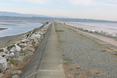
Flat, straight walk out into the Salish Sea on a paved upper path, with waves on both sides. Expect shorebirds, seals, and planes from the nearby airport.
Iona Beach is a flat, windy walk along a narrow sand-and-grass jetty at the Fraser River mouth. Most of the route is beach or faint unmarked trail, ending on a stretch of slippery driftwood logs. Seabirds and open views of the Georgia Strait are the highlights.
Climbs through forest and along an old logging road on Burke Mountain, with a few creek crossings and mountain-bike trails nearby. The payoff is a rocky bluff overlooking the Coquitlam Watershed.
Gentle climb through second-growth forest on the way to Woodland Falls, then a short steep scramble beside the creek to Sawblade Falls. Expect gunfire from a nearby shooting range and trails that are not always well signed.
Minnekhada Regional Park is a calm marshland walk, with a dike trail that opens onto wide views of the lower marsh. Wildlife watching is the highlight, with chances to spot Wood Ducks and beavers, plus a viewing platform overlooking the whole area.
Flat riverside loop south of Vancouver, with river views through the bushes and a clearing with wider views of the Fraser. A low-tide beach leads to the island's western tip, and the south side overlooks a marina and marsh.
Buntzen Lake's loop trail winds through scenic forest with several lake views along the way. Highlights include a floating bridge crossing and a quieter beach at the north end.
Flat, easy riverside walking through forest and along the Fraser River, with birdlife in the bushes and grassy areas. Good for a relaxed walk any time of year.
Tri-Cities · Temporada: Jul–Oct Fuera de temporada
Distancia
25 km circuito
Desnivel
1,142 m
En coche desde el pueblo
2 h 53 · 153 km
En forma6 h 22
Promedio9 h 06
Más lento13 h 12
Dilly Dally Loop is a demanding, multi-viewpoint circuit above Buntzen Lake, best suited to experienced hikers. Expect a steep climb to Polytrichum Lookout, then ridge walking with wide views across the Tri-Cities area.
A flat, year-round riverside path that starts near Fort Langley's historic sites and runs along the Fraser River. Small wooden piers offer views of the waterway, and the route leaves the village behind as it passes the golf course.
Sendero Diez Vistas climbs through forest to a series of lookouts over Indian Arm, with the strongest payoff at the third viewpoint, where Deep Cove sits ahead and Mount Seymour rises across the water.
Admiralty Point is a gentle, family-friendly trail through forest that drops to the shoreline. The highlight is wide views across the water to Deep Cove, Mount Seymour, and Burnaby Mountain.
Belcarra Bluffs rewards a steady climb through forest with an open viewpoint over the Indian Arm entrance, with views toward Deep Cove, Capital Hill, and downtown Vancouver. Junctions are poorly marked, so watch your route closely.
Flat, wide gravel trail through forest and open picnic areas to Tavistock Point, the northern tip of the island. The payoff is river views with distant mountains on clear days, plus a few side viewpoints along the way.
Jug Island Beach is a forested trail with a steady climb and a mossy stretch before a final steep drop. The payoff is a beach facing the island, with views across Indian Arm and Bedwell Bay.
Flat, well-kept loop around Sasamat Lake in Belcarra Park, with frequent glimpses of the water along the shore. Its best moments come early, when the full lake opens up from the beach hill.
Flat loop through a wetland reserve with three wooden viewing towers overlooking the fen. It's a favourite with bird watchers, who can spot over 100 species depending on the season.
A flat, easy loop along Kanaka Creek and the Fraser River shore in Maple Ridge, popular with dog walkers. Highlights include a wooden viewpoint for birdwatching and river views, plus glimpses of passing boats.
Mud Bay Park is a short, flat walk with open views over Boundary Bay, where you can watch shorebirds like Killdeer and Western Sandpipers along the shoreline.
Flat, easy walk along Boundary Bay's shoreline, best known for birdwatching. Expect plenty of ducks and waterfowl, a viewing platform, and a protected wildlife reserve where eagles can be spotted.
A flat dike walk along the Fraser River shoreline, with farmland on one side and marsh on the other. Birders come for the wide range of coastal species, and on clear days the mountains show up in the distance.
Flat, mostly paved route along Quarry Road to a meadow loop with a viewpoint over the marsh near Siwash Island. Birdwatching is a highlight, with swans, herons, and goldeneye often spotted.
Flat, all-year walk through a delta wildlife area where birds are the main draw, with river views along the Fraser on the dyke trails. Access is limited to weekday daytime hours.
Wander an easy forest loop past Cliff Falls, with rapids and a quiet creek along the way. Picnic tables sit near the falls, making it a good family outing that stays flat the whole route.
Wander through lush, mossy forest over small streams, with a clearing offering a view across the farmlands of Pitt Meadows. Winding trails also pass research plots marked by coloured tree ribbons.
Flat dike trails wind through marshland and past wood duck nest boxes, with bird blinds for quiet viewing. The highlight is the observation tower, which offers a sweeping 360-degree view over the sanctuary.
Flat, easy loop through forest, open fields, and a boardwalk over marsh. The highlight is a side trip to the old Langley Speedway, where crash damage still shows on the track walls.
Easy, family-friendly walking beside a slow-moving brook through forest. The highlight is the open Aldergrove Bowl, with its rolling hills and a viewpoint over the area.
Drop into a bowl-shaped marsh where wooden boardwalks and small bridges cross several streams. The baseball fields and roads fade away, making it a quieter walk than the start suggests.
Fraser Valley · Temporada: Abr–Oct Fuera de temporada
Distancia
3 km ida y vuelta
Desnivel
75 m
En coche desde el pueblo
3 h 14 · 180 km
En forma39 min
Promedio56 min
Más lento1 h 22
Steep, short climb through forest to a lookout with a wide view over Hayward Lake and the valley below. The top section can be looped before heading down to two separate viewpoints.
Pitt Wildlife Loop follows flat dikes beside Pitt Lake and its marsh, with birds like herons and ospreys in view. The highlight is the wooden lookout near the start, where you climb for wide lake and marsh views.
A short loop that climbs steadily through managed forest to a couple of viewpoints overlooking the Stave Lake area. Numbered signs match a brochure you can print beforehand.
Hayward Lake's west side follows a flat, wide former railway line, with glimpses of the lake, a beaver pond, and old wooden trestle pillars standing in the water. It ends at Ruskin Dam.
Mike Lake is a short, flat-to-gentle loop through calm, quiet forest with tree roots underfoot. The highlight is a clear view of the lake from its north side, and it suits families.
Steelhead Falls sits just off the Reservoir Trail around Hayward Lake in Mission. The walk winds through forest, over a couple of bridges, and down wooden steps to a platform facing the waterfall, making it an easy outing for families.
Maple Ridge · Temporada: Jul–Sept Fuera de temporada
Distancia
24 km ida y vuelta
Desnivel
1,500 m
En coche desde el pueblo
3 h 20 · 183 km
En forma6 h 50
Promedio9 h 45
Más lento14 h 08
Golden Ears is a long, steadily steepening trail through forest, with the steepest climbing coming in the second half. The payoff is spectacular views from the top, which can be chilly even on hot days.
Rolley Lake's loop circles a small lake, crossing a marsh on a wooden boardwalk and passing through mossy cedar and hemlock forest. Quieter in cooler seasons, it's a gentle walk with lake glimpses.
Ledgeview's loop climbs through lush, shaded forest beside a creek, then opens to a scenic viewpoint in a clearing near the top. Many trails here are poorly marked, so the route can be hard to follow.
Easy-rated loop through forest around Devil's Lake, with lakeside beach views and a floating bridge crossing at the south end. Expect rocky, uneven, sometimes muddy stretches on the east side.
Gold Creek Falls is a gentle, year-round walk through mossy west coast rainforest, with a clearing offering mountain views. The highlight is the falls, best seen in spring when runoff is strong.
A steep, sustained climb through the hills that ends at a viewpoint looking southwest over Abbotsford. It's a solid workout, and the trail continues on to Taggart Peak for those wanting more.
Maple Ridge · Temporada: Abr–Oct Fuera de temporada
Distancia
12 km circuito
Desnivel
185 m
En coche desde el pueblo
3 h 23 · 184 km
En forma2 h 25
Promedio3 h 28
Más lento5 h 01
Golden Ears Canyon Loop is a mostly gentle hike along old logging roads, with one steep, rugged stretch. Its highlights are the Gold Creek Lookout, Viewpoint Beach, and Hikers Beach, plus remnants of past logging along the trail.
The Hunter Road Trail is a forest road climb that is more of a workout than a scenic walk. It ends at a wide viewpoint looking north over Stave Lake, which makes the effort worthwhile.
Moon Rock Trail is a fairly short forest climb that ends at a huge boulder. From the top, you can see across Hatzic Lake and the Fraser River. A makeshift ladder helps you scramble up for the wider view.
Sumas Mountain's trail climbs through forest, dipping into a ravine with a river and crossing a bridge early on. Expect mud in spring or after rain, narrow overgrown sections, and a clear-cut patch that offers an unappealing view.
Flat, easy loop through marshland and past open ponds, with a good chance of spotting birds such as the great blue heron. It can be paired with a stretch of the Vedder River Trail.
Follows the Vedder River through flat, open farmland with frequent river views, plus a chance to spot ducks, geese, eagles, and herons. Busy with walkers, joggers, and cyclists, especially on weekends.
Mount Thom is a steep climb through forest and switchbacks, rewarded at the top with a broad view over Cultus Lake and the Fraser Valley. It's a year-round outing.
Fraser Valley · Temporada: May–Oct Fuera de temporada
Distancia
0.8 km ida y vuelta
Desnivel
50 m
En coche desde el pueblo
3 h 49 · 237 km
En forma14 min
Promedio20 min
Más lento28 min
Bridal Veil Falls is a short, easy forest climb with a wooden bridge over the creek, ending at a railed viewpoint for a waterfall that drops about 60 metres down smooth rock. A Woodland Trail loop back makes it a pleasant family outing.
Hillkeep's short viewpoint trail climbs a set of wooden stairs through forest to a platform overlooking the Fraser Valley. Trees partly block the view, but the mountains around Cultus Lake are still visible across the valley.
Three of the original seven giant Douglas firs still stand in a short loop near Cultus Lake, with fallen trunks lying nearby. The old-growth grove is the highlight.
Cascade Falls is a short, steep climb with wooden stairs to a suspension bridge over the river. The highlight is the waterfall, which you can view closely from a platform, sometimes feeling its mist when flows are high. Wait, that's 36 words and fine, but it copies "suspension bridge" only (two words), acceptable. Also "wooden stairs" is two words. Fine.
Teapot Hill climbs steadily through mixed forest and a few wildflower patches to a pair of viewpoints. The highlight is the lake below, with the Columbia Valley stretching toward the US border.
Wind through a shared forest network of loops, from gentle family routes to steeper climbs. The highlight is lush, mossy forest on the clockwise loop, with switchbacks rising gradually to a steeper stretch near the top.
Flat, easy wetland loops with a lakeside wooden viewing platform reached over floating bridges, plus a shaded creek route that stays cool in summer. Good for birdwatching and all ages.
Climbs a short, fairly easy gravel path through forest to a picnic-table viewpoint over Harrison Bay and the Harrison River. Information signs line the way up.
Fraser Valley · Temporada: Jun–Oct Fuera de temporada
Distancia
8 km ida y vuelta
Desnivel
765 m
En coche desde el pueblo
3 h 59 · 237 km
En forma2 h 44
Promedio3 h 55
Más lento5 h 40
Steep, relentless climb mostly through forest on a well-defined path, with loose dirt that can be slippery in summer. The reward is a rocky bluff with wide views over Chilliwack and Cultus Lake on clear days.
Steep, rugged climb up a mountainside with overgrown sections, fallen trees, and creek-bed footing. The payoff is a top-of-route view over Harrison Lake, so it suits experienced hikers only.
Whippoorwill Point Trail climbs steeply through forest from Harrison Hot Springs, then eases along mossy rock to Sandy Cove, a quiet beach with views of Harrison Lake and the surrounding mountains.
Fraser Valley · Temporada: May–Oct Fuera de temporada
Distancia
9 km ida y vuelta
Desnivel
260 m
En coche desde el pueblo
4 h 8 · 223 km
En forma2 h 02
Promedio2 h 54
Más lento4 h 12
Vedder Ridge Trail climbs through mostly forest beside Cultus Lake to the summit of Vedder Mountain, with a steep finish. The highlight is a short side path to a viewpoint over the Fraser Valley, with Sumas Mountain and farmland in view.
Flood Falls is a short forest walk along a creek bed that ends at a tall, narrow waterfall dropping onto rocks above a small pool. The climb is gentle, and the highlight is the reveal of the falls through the trees.
Fraser Valley · Temporada: Jul–Oct Fuera de temporada
Distancia
9.5 km ida y vuelta
Desnivel
700 m
En coche desde el pueblo
4 h 11 · 244 km
En forma2 h 53
Promedio4 h 08
Más lento5 h 59
Mount Cheam rewards the climb with a sweeping 360-degree view over Chilliwack, the Fraser River communities, and Jones Lake, with snowy Mount Baker in the distance. Wildflower meadows line the lower trail, and the upper section turns to loose rock.
Steep from the start beside Highway 1, then mostly shaded forest with wooden stairs and switchbacks. The payoff is a rocky lookout over the town of Hope and the Fraser River.
Steep, forested switchback climb with several viewpoints along the way. The payoff is wide views over the town of Hope, the Fraser River, and Mount Hope.
Fraser Valley · Temporada: Abr–Oct Fuera de temporada
Distancia
1.1 km ida y vuelta
Desnivel
105 m
En coche desde el pueblo
4 h 19 · 214 km
En forma23 min
Promedio32 min
Más lento47 min
Short but steep and rugged, with rocks to step over and a fallen tree to pass under. The highlight is McDonald Falls on Murdo Creek, best seen by carefully climbing down onto the rocks beside the creek.
Bosumarne Falls rewards an easy forest walk with a tall upper cascade pouring off high rock, though a small lower falls comes first. Expect a wobbly, railing-free log bridge over a creek and a rough, slippery stretch near the top.
Fraser Valley · Temporada: Jun–Oct Fuera de temporada
Distancia
6.6 km ida y vuelta
Desnivel
1,040 m
En coche desde el pueblo
4 h 24 · 257 km
En forma2 h 59
Promedio4 h 15
Más lento6 h 10
Steep and tough in places, with a rope section over loose rock. The reward is a series of climbing viewpoints over Lindeman Lake, Chilliwack Lake, and Flora Peak, best on a clear, sunny day.
Fraser Valley · Temporada: Abr–Oct Fuera de temporada
Distancia
3.4 km ida y vuelta
Desnivel
200 m
En coche desde el pueblo
4 h 24 · 257 km
En forma57 min
Promedio1 h 21
Más lento1 h 57
Climbs beside Post Creek through forest, past a rockslide and a huge boulder, to a small wooden dock on Lindeman Lake, where the mountain-lake views are the payoff.
Fraser Valley · Temporada: May–Oct Fuera de temporada
Distancia
3.5 km ida y vuelta
Desnivel
Mínimo
En coche desde el pueblo
4 h 30 · 280 km
En forma37 min
Promedio53 min
Más lento1 h 16
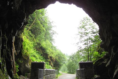
Flat, short walk through old railway tunnels cut into granite, with bridges crossing the rushing Coquihalla River. The highlight is the dramatic gorge, with sheer rock walls and water churning far below.
A flat, peaceful loop along Hicks Lake's shoreline, passing a rocky lookout over the water, picnic beaches, and a forest stretch with many small wooden bridges over creeks. Muddy in winter.
Fraser Valley · Temporada: Abr–Oct Fuera de temporada
Distancia
4.5 km ida y vuelta
Desnivel
475 m
En coche desde el pueblo
4 h 38 · 294 km
En forma1 h 37
Promedio2 h 19
Más lento3 h 21
Spirit Caves Trail climbs steeply through forest and switchbacks to a high viewpoint over the Fraser River. Past the viewpoint, small caves sit among large boulders, though the river view is the main draw for most hikers.
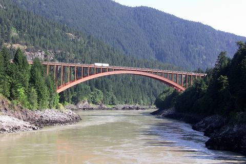
Gentle downhill walk through forest on an old access road to a historic steel bridge over the Fraser Canyon. The highlight is walking the metal-grate deck above the fast-moving river. Watch for passing freight trains near the tracks.
Fraser Valley · Temporada: May–Oct Fuera de temporada
Distancia
2 km ida y vuelta
Desnivel
52 m
En coche desde el pueblo
4 h 53 · 323 km
En forma26 min
Promedio38 min
Más lento55 min
Falls Lake is a short, well-marked trail that follows a creek through forest, crossing small wooden bridges. It ends at the lakeshore, with Nak Peak rising beside the water.
Fraser Valley · Temporada: Jun–Oct Fuera de temporada
Distancia
8 km ida y vuelta
Desnivel
600 m
En coche desde el pueblo
4 h 53 · 323 km
En forma2 h 27
Promedio3 h 30
Más lento5 h 05
Zoa Peak climbs a forested ridge in the Coquihalla Summit area, with steep, exposed stretches that feel hot in summer. The payoff is wide views of Zum, Thar, and Nak Peaks from the top.
Chilliwack Lake's quieter south end offers an easy walk along an old logging road to a sandy beach with views of Mount Lindeman and MacDonald Peak. The trail continues to the calm Chilliwack River, where a hidden beach sits near the water.
Manning Park · Temporada: Jul–Sept Fuera de temporada
Distancia
22 km ida y vuelta
Desnivel
1,160 m
En coche desde el pueblo
5 h 15 · 341 km
En forma5 h 53
Promedio8 h 24
Más lento12 h 11
Frosty Mountain is a demanding climb through forest and switchbacks into the alpine, ending at a first-peak viewpoint over the surrounding Coastal Mountains. Loose rock scrambling is needed near the top, and clear days offer some of the park's best views.
Manning Park · Temporada: Jul–Sept Fuera de temporada
Distancia
8.5 km circuito
Desnivel
Mínimo
En coche desde el pueblo
5 h 15 · 341 km
En forma1 h 29
Promedio2 h 08
Más lento3 h 05
A flat, forested loop around Lightning Lake in Manning Park, with easy footing and frequent glimpses of the water. The highlight is the Rainbow Bridge, which spans the narrow channel joining the two lake sections.
Manning Park · Temporada: Jun–Oct Fuera de temporada
Distancia
19 km ida y vuelta
Desnivel
85 m
En coche desde el pueblo
5 h 20 · 343 km
En forma3 h 28
Promedio4 h 58
Más lento7 h 12
Wide forest trail linking a string of lakes named for weather, including Lightning, Flash, Strike, and Thunder. Flash Lake offers the best glimpses of water through the trees, and the mostly flat route makes it a manageable outing.
Fraser Valley · Temporada: Jul–Oct Fuera de temporada
Distancia
12 km ida y vuelta
Desnivel
920 m
En coche desde el pueblo
5 h 36 · 254 km
En forma3 h 43
Promedio5 h 18
Más lento7 h 41
Climbs through shaded forest and alders, crossing a rebuilt log bridge over Nesakwatch Creek. The highlight is the Propeller Cairn at the base of Mount Slesse, where a plane propeller piece rests among rocks, with views across the valley.
Manning Park · Temporada: Jul–Sept Fuera de temporada
Distancia
21.5 km ida y vuelta
Desnivel
480 m
En coche desde el pueblo
5 h 50 · 353 km
En forma4 h 36
Promedio6 h 35
Más lento9 h 32
Three Brothers Mountain's highlight is the meadows and ridges with wide views toward the Brothers. Early sections drop steeply through alpine forest with few views, and the return climbs back up.
Hiking times are estimates for the whole outing including short breaks, worked out from distance and climb: an average hiker covers about 4 km an hour on the flat plus an hour for every 400 m of climbing. Fit hikers take about 30% less, slower hikers about 45% more. Steep, rocky or snowy trails take longer.
Distance and elevation gain are for the route shown (round trip unless it says one way or loop), from published trail guides and park sources linked on each hike.
Drive times are from Whistler Village in normal traffic. Gravel and 4x4 roads vary a lot with conditions; ~ means a rough estimate.
Difficulty: Easy = mostly flat and well made. Moderate = a few hours with real climbing. Difficult = long, steep or rough. Very difficult = a big day only for fit, experienced hikers.
Before you go: check BC Parks for day-use passes and closures, tell someone your plan, carry the essentials and know that weather in the alpine changes fast. See AdventureSmart.